By: Farooq Mirza
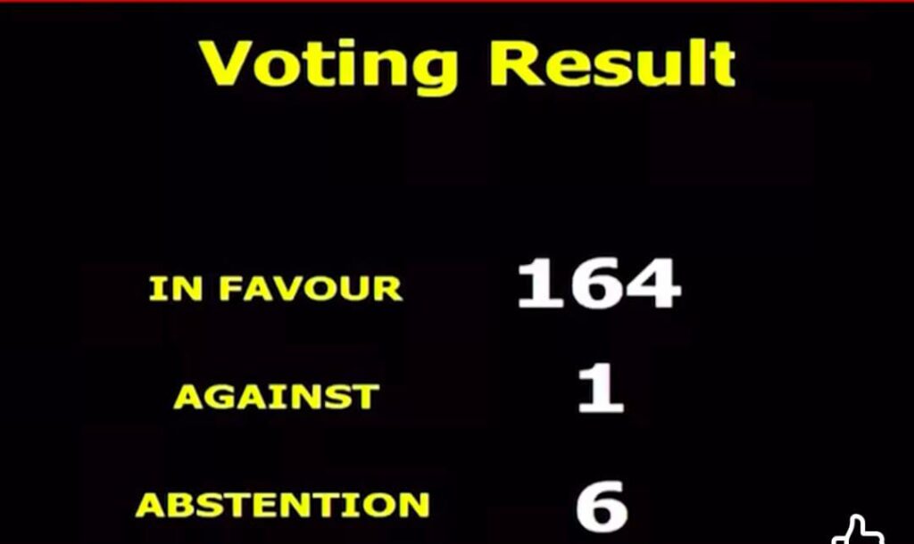
NEW YORK — The United Nations General Assembly has overwhelmingly passed a resolution adopting a new equal-area world map, with 164 countries—including India—voting in favor. While the updated map corrects centuries-old cartographic scale distortions, it continues to classify Jammu, Kashmir, and Ladakh as disputed territories rather than Indian sovereign land.
Following public backlash in India, Ministry of External Affairs spokesperson Randhir Jaiswal clarified that New Delhi’s vote was strictly aimed at adjusting landmass proportions and does not alter its official borders. Meanwhile, Pakistan Foreign Office spokesperson Sajjad Haider rejected India’s stance, emphasizing that official UN maps reflect the legal reality of the region and that unilateral actions cannot change its disputed nature.
Detailed News Story
New UN World Map Triggers Diplomatic Friction as India Votes for Resolution Depicting Kashmir as Disputed
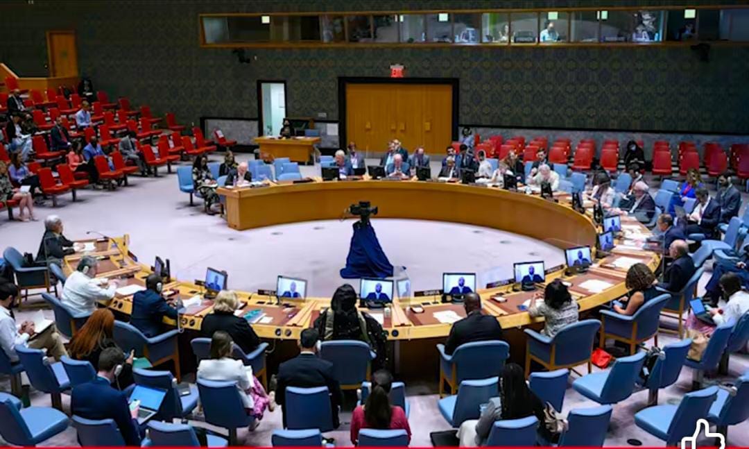
NEW YORK / ISLAMABAD — A diplomatic controversy has unfolded at the United Nations following a General Assembly vote adopting a new, geometrically accurate equal-area map of the world. The resolution passed with 164 votes in favor, 1 against, and 6 abstentions, with India joining the overwhelming majority in supporting the measure.
Context of the Cartographic Shift

The initiative aimed to rectify longstanding distortions inherited from 16th-century Mercator projections, which historically understated the physical size of Africa and other southern hemisphere regions. However, the officially designated UN map released under this framework does not portray Jammu, Kashmir, and Ladakh as part of India, identifying them instead as internationally recognized disputed territories.
New Delhi Issues Clarification
The publication of the map generated intense scrutiny within Indian media and public spheres, prompting the Indian Ministry of External Affairs to respond. MEA Spokesperson Randhir Jaiswal stated that India’s affirmative vote was restricted purely to supporting technical accuracy in global surface-area representation. He maintained that the UN map has no applicability to India’s national boundaries or sovereign territorial claims.
Pakistan Reaffirms UN Framework

Pakistan’s Ministry of Foreign Affairs swiftly dismissed New Delhi’s explanation. Foreign Office Spokesperson Sajjad Haider asserted that India’s unilateral administrative measures cannot overturn the established legal status of Jammu and Kashmir. He underscored that official UN maps represent the binding international legal reality grounded in UN Security Council resolutions.
Diplomatic Implications
International observers view the outcome as a setback to New Delhi’s efforts to portray the Kashmir issue as an internal matter. The resolution reinforces the position of the United Nations that the final status of Jammu and Kashmir remains pending, subject to a free and impartial plebiscite conducted under UN supervision.